Maps of Barney, North Dakota
 1874|Andreas, A. T. (Alfred Theodore), 1839-19001:380 160
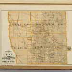
 1874|Andreas, A. T. (Alfred Theodore), 1839-19001:760 320
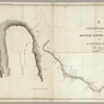 1835|Featherstonhaugh, G.W.1:506 880
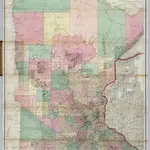 1866|Sewall, Joseph S.1:760 320
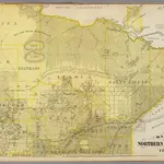
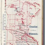 1866|Larrance, Isaac, 1804-18961:5 068 800
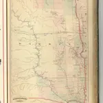 1875|Asher & Adams1:1 260 000
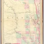 1874|Asher & Adams1:1 267 200
Old maps of Barney, North Dakota
Discover the past of Barney, North Dakota on historical maps
Old maps of Barney, North Dakota
Discover the past of Barney, North Dakota on historical maps
Looking for a Google Maps API Alternative?