Maps of Martfeld
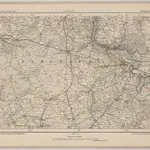 1870|Johannes Wilhelm Liebenow 1822-18971:300 000
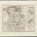
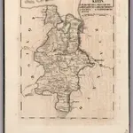 1825|Hermann, O.1:140 000
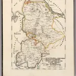
 1860|Meyer, J.
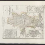
 1825|Hermann, O.1:150 000
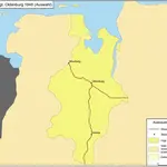 1848|Kunz, Andreas ; Treiling, Thomas
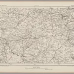
 1850|E. Luther sc.1:1 150 000
 1870|Johannes Wilhelm Liebenow 1822-18971:300 000
Old maps of Martfeld
Discover the past of Martfeld on historical maps
Old maps of Martfeld
Discover the past of Martfeld on historical maps
Looking for a Google Maps API Alternative?