Document

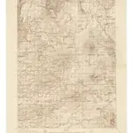
California Burney Quadrangle Topographic Map
Relief shown by contours and spot heights. Contour interval 100 feet. Includes compilation diagram. Surveyed in 1925, 1926, 1934, and 1935. "Advance sheet. Subject to correction."
UCLA Library1935
Washington, D.C. : United States, Dept. of the Interior, Geological Survey
1:96 000

